Day 64 (5/3/13) Kountz to Kirbyville (riding day 52)

Last night we got the winds predicted for earlier yesterday.  The north winds blew all night and greeted us this morning.  Today conditions like this back home would have called for a small craft advisory on Lake Erie and the southern shore be would blasted by 6 foot waves.

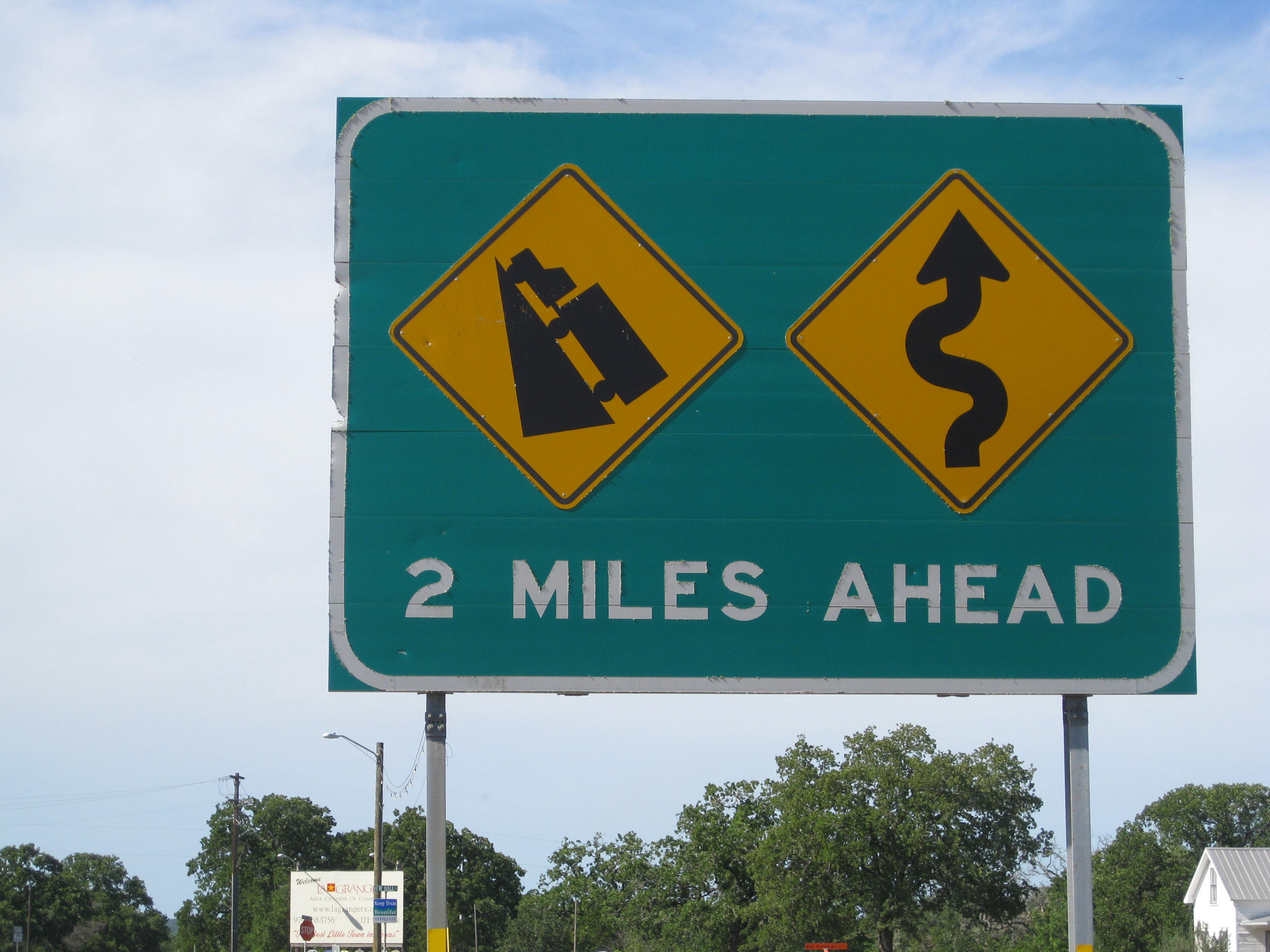
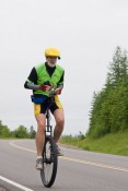
It was hard to get started this morning with the temperature of 44 degrees.  I didn’t want to know what the chill factor was.  Apparently the area is experiencing near record cold temperatures.  I wore three layers and set sail.  Unfortunately my route on 96 took me north battling head and crosswinds most of the day.  It was an effort all day just to stay on top.  The roads were flat and I could have had another big day if not for the winds.  You just have to take what the day gives.

I do believe I saved the life of some unsuspecting snake today.  A small grey snake was headed across the shoulder toward 4 lanes of traffic going 75 mph.  When I nearly ran him over myself, he thought better of the plan and headed the other way.

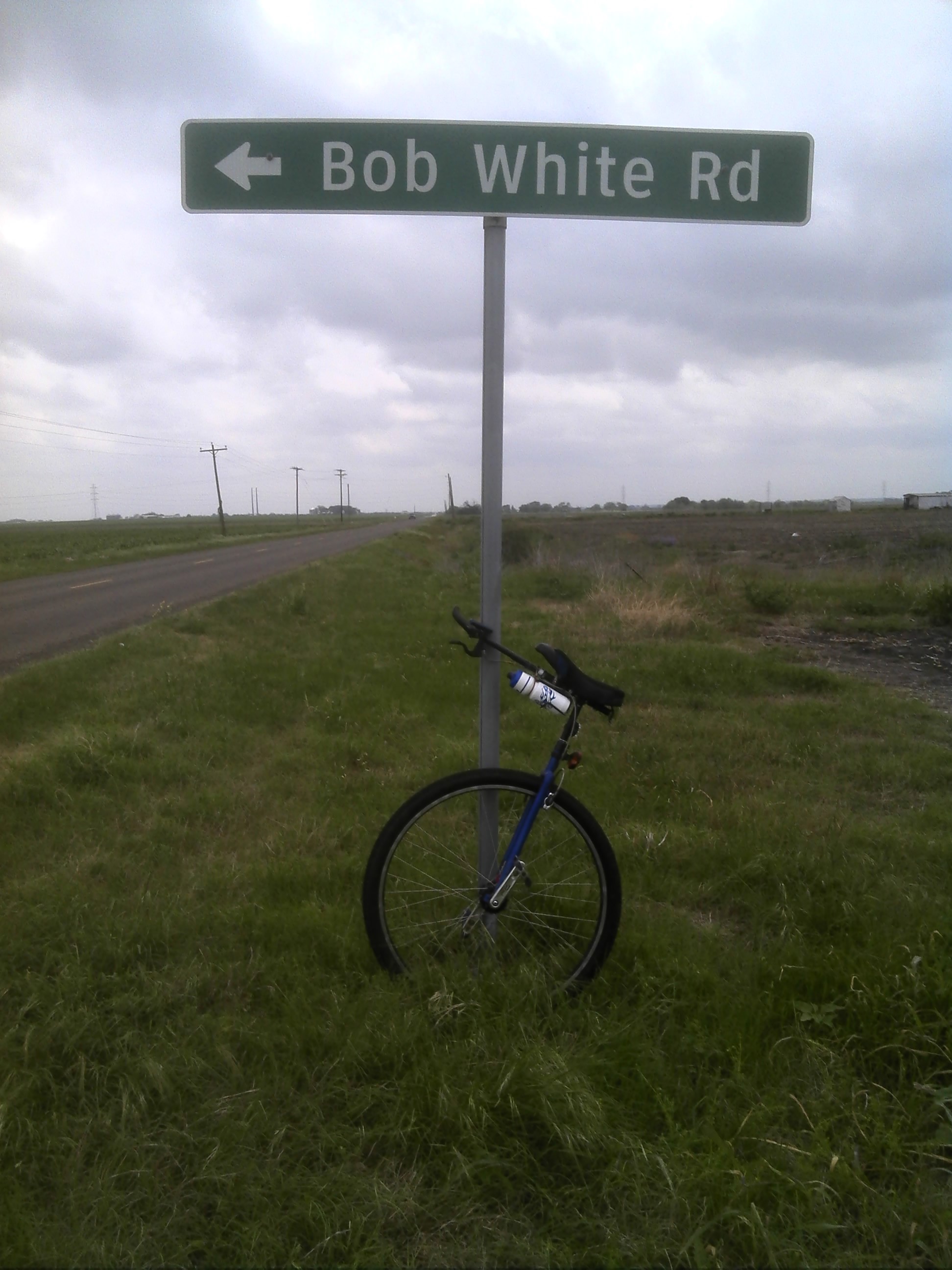
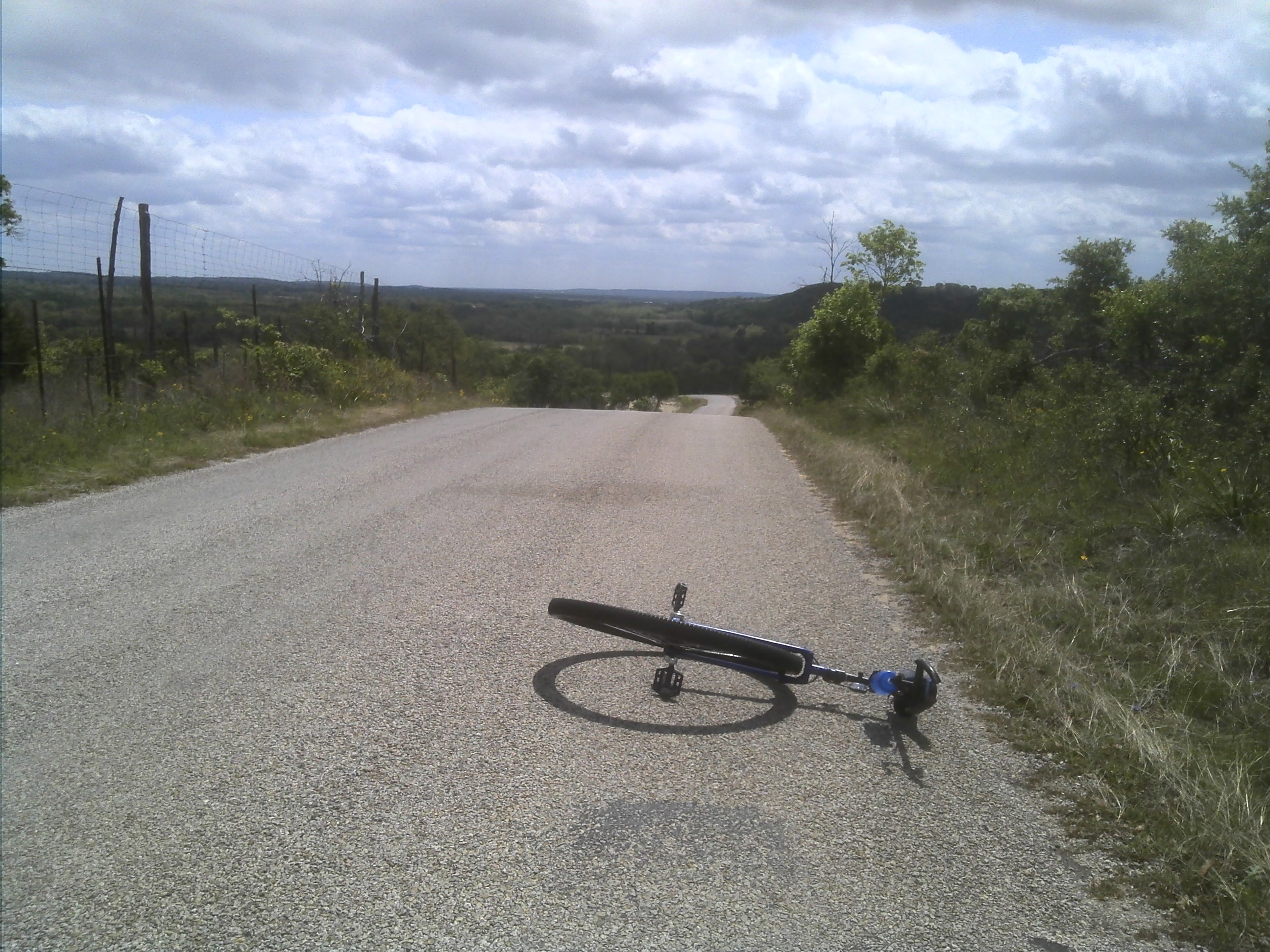
Stats for Day 64: I rode 44.31 miles at 10.6 mph, Max=15.6 mph, Ascent=928′, Descent=912′, Max elevation=32′, Min elevation=-72′, Ave heart rate=103, Max=124, Ave temp=60, Calories burned=1185, (felt like 1500).  Trip miles to date= 1905

Posted in Uncategorized | 7 Comments

Day 63 (5/2/13) Coldspring to Kountze, almost matched the day.

Day 62 awoke with a wind advisory.  Winds from the NNE were expected to build throughout the day, with a 30% chance of rain and thunder showers.  My goal was the usual recipe, make as many miles as I could before the weather disrupted my riding.

At one point in the ride breathing was difficult and the humidity was 99+ % but my GPS explained these phenomena.  I was 22 feet below sea level.

The weather held off, the roads were flat, and the overcast skies, coupled with a day off yesterday and some determination to make some miles lead to a grand result.  I rode the first 30 miles at 13.7 mph, but fatigue eventually slowed me down so that by the next 30 miles my average fell to 13.5 mph on the day.  That’s right you read correctly, a new high score of 60.32 miles for a day.

My crew played leapfrog with me throughout the day and no matter how fast I pedaled they seemed to expect where they would run across me next.  One of these days I’m going to show them.  I will hitch a ride for 50 miles and see if they anticipate where I’ll be.  Don’t tell my crew.

The crew declared it wasn’t all that scenic today.  The rider has come to the conclusion the more scenic the area the harder the ride.

In celebration of my great ride today we chose to stay at a nice RV park in Silsbee Texas.  Rita the park manager said the owners Tina and Jeff were cyclist friendly and gave us a favorable rate when we I was riding my unicycle across the country to help raise awareness and funds for research for A.L.S.

I recommend Red Cloud RV Park weather your pedaling or driving through the Silsbee area.

Red Cloud RV Park a very friendly and pleasant place stay.

Red Cloud RV Park a very friendly and pleasant place stay.

Stats for day 63: I rode 60.32 miles at 13.5 mph, Max=19.4 mph, Ascent=584′, Descent=837′, Max elevation=259′, Min elevation= -22′, Ave heart rate=112, Max heart rate=136, Ave temp=71, Calories burned=1511 (strange it didn’t feel like a calorie over 1400)

Posted in Uncategorized | 3 Comments

Day 61 (Riding day 50) 4/30/13 Richards to Coldspring

On Day 61 (riding day 50) I rode 47 miles from Richards to Coldspring Texas.  Much of the route took me through Sam Houston National Forest.  But part of the ride was a bit unnerving as I rode out of New Waverly on route 150 the traffic picked up, especially truck traffic.  The road was two lanes with hills and curves that made line of sight rarely over a half mile, with little to no shoulders.  I couldn’t believe the speed limit was 70 mph.

One might ask what does a lone cross-country unicyclist think about during all those long miles out in the middle of no where day after day?  I would answer.  I think – just stay up, just stay up, one more revolution, just stay up.  That’s what occupies my mind most of the time.  But I am amazed at the process.

The smallest bump can take me down, but I can ride over a curb without going down as long as I see the obstacle.  My eyes take in the bump in the road and send a message to the brain. Picture a bump.  Brain says “got it”.  I’ll describe the nature of the bump, calculate the estimated time of arrival and send a message to the leg and core muscles to be ready for the bump.  Brain says “muscles you see that bump ahead”?  Muscles “not my job, that’s what the eyes are for”.  Brain “Whatever, be ready to react to the bump and send me feedback so I can tell you what to do next as we actually ride over the bump”.  Muscles “too late we are powering through the bump right now so figure out what we should do next”, Muscles “What, you say there is another bump ahead?  Good grief.

This goes on at least 10 times in the time it takes you to read the previous paragraph unless you’re a slow reader like me, then it happens about 20 times.  This is at about 12 mph.  At 17 mph, well you get the idea.

Saw a green snake today, it would have gone well with the pink one we saw in Big Bend.

Stats for day 61: Rode 47.71 miles at 11.9 mph, Max=17.6 mph, Ascent=1896′, Descent=2014, Max elevation=517, Min elevation=196, Ave heart rate=107, Max heart rate=143, Ave temp=74, Calories burned=1287. Total trip miles=1801.  After 50 riding days I am averaging 36 miles per riding day.

Posted in Uncategorized | 4 Comments

Day 60 a Day of Stats (4/29/13)

My legs were tired and stiff after the big day yesterday.  I rode a little bit too fast for too long, so today I vowed to take it easier.  Yesterday’s ride came very close to making my biggest two day total but not quite.  However today’s ride combined with yesterday’s ride managed to accomplish that achievement.

The two days together equaled 104 miles eclipsing the old 101 mark.  The past three days together also set a new three day total of 150 miles.  If I ride tomorrow I am definitely going to take it easier.

There are 7 maps that make up the southern tier route, and today I rode off of map 4 and onto map 5.  Unfortunately the last three maps have no elevation profile, presumably because there is so little change in elevation.  So from here on out any hills I encounter will be a surprise.  You can guess what kind of a surprise.

Today I rode from east of Burton to just west of Richards.  By noon I just felt whipped out and unsure how much further I could go.  In Anderson the route changed to 149 which initially was a bit hilly.  My crew came by just as I was slogging up a long hill so she waited at the top.  I had a half hour before my magic 2:00 pm quitting time so I told Joan at 2:00 drive to wherever I am. The road flattened out so I gave everything I had the last half hour and rode nearly 7 miles, before she picked me up.

Day 60 stats: Rode 50.25 miles at 11.9 mph, Max=17.6 mph, Ascent=1829’, Descent=2010, Max elevation=517′, Min elevation=196 , Ave heart rate=107, Max=143, Ave temp=74, Calories burned=1287, Total trip miles=1753.

Posted in Uncategorized | Leave a comment

Day 59 (4/28/13) Mashing Pedals

Day 59 was just like the brochure said it would be.  There was a light breeze, blue skies, fluffy white clouds, shade trees along the road, and good shoulders on most of the way.  The route meandered through green pastures with rolling but not steep hills.  The conditions were almost too good to be true.

Just before entering La Grange Texas I encountered this road sign.

No Way.  I"m turning around and heading back to San Diego.

No Way. I”m turning around and heading back to San Diego.

I put the hammer down and rode as hard as I could, trying to make miles before weather might spoil the day.  At 10:15 am I had logged 18 miles and took a cracker break just before entering La Grange.  At 11:30 I took a sandwich break after logging 32 miles in 3 hours.  I kept on pressing and by 12:30 pm I was over 45 miles and treated myself to a pint of Blue Bell Dutch Chocolate ice cream.

My crew showed up and caught me in the act again.  I said I had 45 minutes to my magic 2:00 pm quitting time and I would try to ride until then.  The result was a new high in a day for the trip to date.

A couple riding on with touring cycles came down a hill from the west while I was heading down a hill going east.  Neither of us seemed to want to lose our momentum, so we didn’t stop to chat, which is the usual custom of touring cyclists.  However as they passed by one of them called out we heard of you.

Stats for day 59: I rode 54.22 miles at an average pace of 12.8 mph, Max=17.7 mph, Ascent=2003’, Descent=1841′, Max elevation=423′ , Min elevation=155′ , Ave heart rate=114, Max heart rate=145, Ave temp=80, Calories burned=1457, Total trip miles=1703

Posted in Uncategorized | Leave a comment

Day 58 (4/27/13) riding day 47

Day 58 was a virtually windless day.  Let me repeat that for those of you who might not appreciate the significance of that.  Today was virtually a windless day.  The significance of that is I rode through mildly rolling hills mostly in high gear at over 13 mph for the first 25 miles.  Then I entered the town of Bastrop.  I was slowed by traffic and traffic lights, but in a short way I looked forward to entering Bastrop State Park.

I was excited to ride in a park with few cars, and slow speed limits.  Ha!  Here is where The good folks from Adventure Cycling played a sadistic prank on me.  There were few cars and the speed limits were slow.  The road surface was fair, but that was not the prank.  Finally just when the terrain was getting flat after riding through the Texas hill country, I encountered the steepest hills of the trip.

The hills were short, but my GPS measured some of them at over 15% grade.  I have to confess I was unable to make it to the top of at least 4 of them.  All told I must have had to walk about 200 meters total.  I hope you won’t judge me too harshly for not pedaling every   foot of the route.

At 36 miles in I wasn’t sure how much further I could go until I ran into the following section.  There was a serpentine section of Buesher State Park that was just plain fun to boggy through.  Switch backs without the hills riding in high gear 12 to 15 mph.

For those of you following along to the calorie counts, I just want to let you know how I dealt with my 1400 calorie deficit yesterday.  From breakfast to bedtime.  Large bowl of raisin bran, banana, apple, 6 peanut crackers, two peanut butter sandwiches, two handfuls of trail mix, 6 Oreo cookies, 1 quart of Gator Aid, 10 oz of chick thighs, half a plate of broccoli, 3 beers, and for desert I had a 10″ sausage and mushroom pizza.  I think I started today in the black.

Stats for day 58: Rode 45.77 miles at 11.3  mph, Max=17.2 mph, Ascent=2252′, Descent=2399′, Max elevation=611′, Min elevation=282′, Ave heart rate=125, Max heart rate=178, Ave temp=75 degrees and humid.  Calories burned 1350


Posted in Uncategorized | 3 Comments

Day 57 (riding day 46) Wimberley to Lockhart

I started day 57 from Wimberley Texas in a light drizzle and fog.  Apparently the motorists  driving into Austin for work must cut in close for time.  The local sheriff’s department said they received 4 calls about a  guy riding a unicycle holding up traffic.  I just hope they weren’t using their cell phones while they were driving, and I hope they weren’t dialing 911 because I held them up for a few seconds on a hill or curve.

I’m pretty sure the sheriff deputy was expecting something completely different when she found me.  She explained the road was hilly and curving and motorists get into accidents trying to pass.  She wanted to know where I was headed hoping I would be off the road soon.  I told here I had been riding from San Diego and was headed to St Augustine Florida by way of Kyle.  She advised just to stay as far right as I could.  I figured it was only a matter of time when some official would question what I was doing.  I was surprised it took this long in the trip.

Several miles latter a motorists was on the side of the road taking pictures.  When I passed he drove by again taking pictures while he drove by.  Then he stopped up ahead again to take some more pictures.  When I came upon him this time I had just pulled a hill in low gear so I was going a bit slower.  He asked if I would pull over for a minute.  It turns out he is a freelance photographer taking pictures for some Austin news paper.  I gave him my info and pedaled on.

A few miles out of Kyle Texas the terrain flattened out and I had hopes of making some serious miles.  I was headed southeast and the predicted southeast winds had been lying in wait for me until I cleared the hills.  Back to bucking headwinds in low gear.

I came across a road I couldn’t pass up.

Bob White Road     In Memory of Dad

Bob White Road
In Memory of Dad

I caught a little break leaving Lockhart heading a bit North East and managed to pick up the pace a little.

Stats for Day 57: Rode 41.00 miles at 11.1 mph, Max=16.3 mph, Ascent=1093′, Descent=1467′, Max elevation=1125′, Min elevation=467′, Ave heart rate=122, Max heart rate=165, Lest you think I was loafing by only riding 41 miles today Garmin begs to differ giving me credit for 1402 calories burned.

Posted in Uncategorized | 7 Comments

Day 56 (4/25/13) Blanco to Wimberley (riding day 45)

Day 56 was a very short day. Joan and I spent over 2 hours tearing apart my truck looking for my cycle meter.  She called a number of the places we had been over the past few days including the hotel we stayed at two days ago twice.  The second time she called she had them check the room and they found it.  I’m telling you motels/hotels will be my undoing.

Joan drove to Kyle to retrieve my cycle meter and I set off toward Wimberley.  As I rode I could feel my handle getting wiggley.  I stopped to check it out and discovered it was breaking at a weld.  I continued to ride gingerly into Wimberley.

One might ask why do you need a handle on a unicycle?  I would have to admit you don’t.  However I find it very useful to keep my balance when riding in high gear and use it for leverage when pulling up hills.  I also find if I hang on to the handle I don’t look like a windmill going down the road.

Joan retrieved my cycle meter and called when she got to Wimberley.  I said I was just entering the town.  It was a little early to stop, but I needed time to switch handles with one of my other unicyles.  So after only 23 miles we stopped for the day.

Joan found us a great place to stay.  Wimberley emergency medical services graciously host cyclists, and allowed us to use their facilities for the night.  They are right in town and were very friendly and welcoming.

Stats for 56: rode 22.93 miles at 9.9 mph, Max=15.9 mph, Ascent=1115, Descent=1526, Max elevation=1445′, Min elevation=891′, No heart rate or calorie info.


Posted in Uncategorized | 5 Comments

Day 52 (4/21/13) Past Comfort to Blanco Texas

The route on day 52 undulated up and down all day.  It is my sixth day of riding and I can tell my quads have not fully recovered.  The hills were not big but they were steep enough to take high gear out of play most of the day.

Come on get up and get gong the down hill is not that steep.

Come on get up and get gong the down hill is not that steep.

I met another young couple riding from Florida,  They left just 5 days after I did and since we met at just about the halfway point they are traveling almost the same pace I am.  Then a whole gaggle of cyclists rode by the other way from Blanco.  They were on a short supported tour.

There was not much to do so my crew leapfrogged most of the day.  Knucklehead quit giving me directions so I knew I would have to rely strictly on the map when I got to route changes in Blanco.  The last few miles to Blanco flattened out and the road was a smaller smoother chip and tar.  It felt so good to kick the KH into high gear I felt like I was flying compared to the rest of the day.

My crew past me just as we came into town and turned right so I followed suit.  At the first stop Joan stopped to wait for me to catch up.  We consulted the GPS in car and were getting confusing directions.  Visually I could see the route on he GPS map in the car showed the way so I said I would follow her.  Joan rolled up to the stop and said she wasn’t sure which way to go .  She turned right and I turned left.

As I was rolling through town she came back after me but her GPS said to turn left even though it was showing the route to the right.  We came to another intersection and she turned left according to the GPS  and I turned right.  A mile later I was headed out of town and changed routes again.  I knew my crew would find me sooner or later, she always does.  In a short time she rolled by and I signaled I need two more tenths of a mile to make 30.  We called it a day.  We stopped for more ice cream because everyone still thinks I am losing weight.

Everyone still thinks I am losing weight.  I don't understand why.

Everyone still thinks I am losing weight. I don’t understand why.

My sister Katie and her husband Terry were flying in to meet us in Kyle and spend a couple of days.  I planned to take two days off but due to a pesky sore on my leg unrelated to riding I may have to take another day off.

Stats for day 52: (riding day 44) Rode 30.03 miles at 9.5 mph, Max=16.0 mph, Ascent=1844′, Descent=2028′, Max elevation=1424′, Min elevation=1068′, Ave heart rate=106, Max heart rate=136, Ave temp=68 degrees, Calories burned=953, Total trip miles=1539.

Posted in Uncategorized | 1 Comment

Day 51(4/20/13) They Say Comfort Texas is about the half way point in my route

On Day 51 I rode from Hunt to a ways beyond Comfort TX.  Come to think of it I ride everyday beyond comfort.  I’ve been told by other cyclists that Comfort Texas is about the half way point on my route.  I’m not sure if I should take comfort in that.  It’s hard to imagine  doing what I’ve done so far all over again.

My quads rallied today with the help of a sympathetic route.  Most of the route was flat or easy down grade, if a bit convoluted.  Some of the back roads were fairly bumpy tar and chip, but they toured me through meadows and pastures and along streams and oh ya, I crossed the Guadalupe River 7 more times today.

Apparently the route gave the navigator in the crew a little difficulty today.  I passed a couple of cyclists today who would occasionally catch up to me when I would stop to check my own navigation.  They thought I was stopping to take pictures.  When I told them I was checking my route on my GPS they helpfully inquired where I was going.  When I said St Augustine Florida, instead of giving me directions they just said oh.

In Comfort I rode across the couple of kids who passed me in Leakey two days earlier.  Apparently they took yesterday off.  They were taking comfort in a couple of ice cream cones.  I know you won’t believe this but I pressed on without doing the same.  It just didn’t seem proper to have my ice cream before noon.  Now if it had been a beer that would have been a different story.

Stats for Day 51: Rode for 46.01 miles at 10.9 mph, Max=15.2 mph, Ascent=1178, Descent=1453′, Max elevation=1665′, Min elevation=1174′, Ave heart rate=108, Max heart rate=139, Ave temp=70, Calories burned=1335, Total trip miles=1509

Posted in Uncategorized | 4 Comments