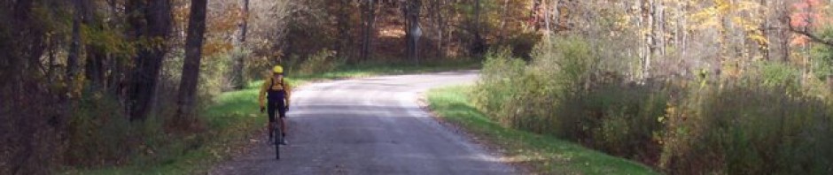
Day 4 of riding. I continued to clime up to 4000 ft. I wasn’t sore from the previous day but my legs felt like mush. Then the route stole 1000 of my hard earned feet. The up side a flat smooth valley for several miles allowing me to ride in high gear on my 29. But now I have to reclaim the elevation to be done with the mountain. Couldn’t they have built a bridge between the peaks, even if just for unicycles?
-
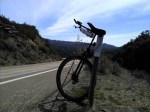
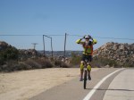
- My unicycle taking a rest on day 4 before descending into Alpine CA
-
- Looking down into Alpine Valley on Day 4
-
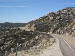
- Ascending out of Alpine CA on day 4
-

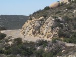
- Near the top of ascent out of Alpine CA on day 4
Longest day to date with 20 miles. I feel like I have made a little progress. I have peddled about 67 miles so far. The GPS who I have named Knucklehead, spoke to me in English today – must have agreed with my route. There were only two turns.
Stats for day four: 20 miles ridden at 8.2 mph, max speed 12.4 mph. Ascended 1837 ft., Descended 1837 ft. Ave heart rate 135, max heart rate 155. Ave temp 70 degrees with a modest tail and cross wind. Max. elevation 4171′, Min. elevation 3122′
Day 5 of riding. Regained all my lost elevation, and finally made it to the second peak.
-
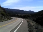
- Winding and climbing
-
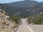
- Winding along toward Boulevard CA
-
- Good Grief not another hill.
-
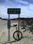
- The second peak of the mountain. Down hill from here to the Continental Divide. Whahooo!!
Rode within a stones throw of the US/Mexico border. For the last two days every other car we see on the route is boarder control. They don’t seem to mess with me when I cross the check points.
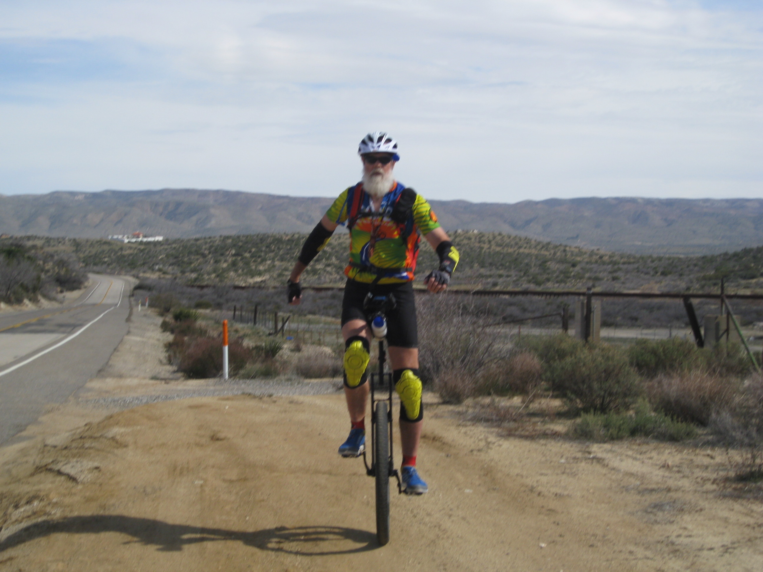
US/Mexico border near Jacumba Springs CA just behind me. The white building in the background is in Mexico.
Mach 5 Mike from the Jacumba Lounge cheered heartily as I passed through Jacumba Springs. He is one of the biggest fans.
It’s mostly down hill from here until I start up the Continental Divide.
Stats for Day 5: Peddled 18.5 miles today, Averaged 8.9 mph, Max speed 14 mph, Ascended 814′, Descended 1778′, Max elevation 4097′, Min elevation 2810. Ave heart rate 114, Max heart rate 149. Gusty tail and cross breeze. Sunny, ave temp 77.
Total mileage to date is about 85.5 miles.

You need to add a map with this blog. You know, the kind they use in the Indiana Jones movies — so we can follow your route. I’m too lazy to get up and grab the atlas. Bill
If you click on the little pic of me on the side where it says where am I it jumps to a google map with a blue tear drop that marks each day’s end.
P.S. – Way to go, Dave!
This is a fabulous tale, Dave. Keep it coming. I think I figured out why you are not being hassled by border patrol. You must not look like the average border crossing type they see most of the time. Most must try to cross on regular bike! Best wishes to you and Joan, and be safe.
so, did you guys soak in the hot springs? thanks for posting your adventures